
Libya
|
|
Basic Info
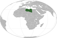
Libya, officially the State of Libya, is a country in the Maghreb region of North Africa bordered by the Mediterranean Sea to the north, Egypt to the east, Sudan to the southeast, Chad and Niger to the south, and Algeria and Tunisia to the west. With an area of almost 1.8 million square kilometres (700,000 sq mi), Libya is the 17th largest country in the world.
Geography
Libya extends over 1,759,540 square kilometres (679,362 sq mi), making it the 17th largest nation in the world by size. Libya is somewhat smaller than Indonesia in land area, and roughly the size of the US state of Alaska. It is bound to the north by the Mediterranean Sea, the west by Tunisia and Algeria, the southwest by Niger, the south by Chad and Sudan and to the east by Egypt. Libya lies between latitudes 19° and 34°N, and longitudes 9° and 26°E.
Climate
Within Libya as many as five different climatic zones have been recognized, but the dominant climatic influences are Mediterranean and Saharan. In most of the coastal lowland, the climate is Mediterranean, with warm summers and mild winters. Rainfall is scanty. The weather is cooler in the highlands, and frosts occur at maximum elevations. In the desert interior the climate has very hot summers and extreme diurnal temperature ranges. The highest official temperature ever recorded was on 13 September 1922 at 'Aziziya, Libya, but that reading is queried.
Religion
By far the predominant religion in Libya is islam with 97% of the population associating with the faith. The vast majority of Libyan muslims adhere to Sunni islam, which provides both a spiritual guide for individuals and a keystone for government policy, but a minority (between 5 and 10%) adhere to Ibadism (a branch of Kharijism), above all in the Jebel Nafusa and the town of Zuwara, west of Tripoli. A Libyan form of Sufism is also common in parts of the country
Administrative divisions
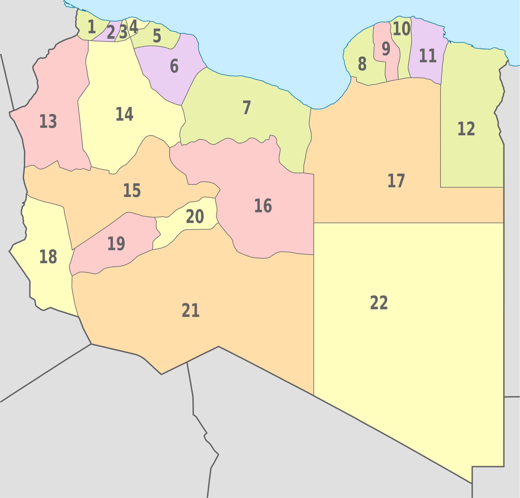
Historically the area of Libya was considered three provinces (or states), Tripolitania in the northwest, Barka (Cyrenaica) in the east, and Fezzan in the southwest. It was the conquest by Italy in the Italo-Turkish War that united them in a single political unit.
Since 2007, Libya has been divided into 22 districts (baladiyat):
|  |
|
Site Search
News
Random Articals
Weather
Join Our Newsletter
Send This Page to Friend
To Email this page to a friend
1. Use Your Default Email Client
2. Use Our Recommend Page
Online Contact
nouahsark
1438084734
+ 86 158 00 323 707
+ 86 158 00 323 707
nouahsark@hotmail.com
If you like this article please feel free to share it to your favorite site listed below: