
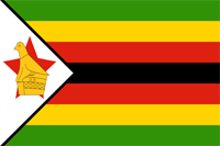
Zimbabwe
|
|
Basic Info
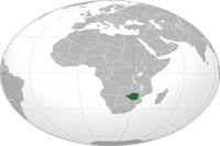
Zimbabwe, officially the Republic of Zimbabwe, is a landlocked country located in Southern Africa, between the Zambezi and Limpopo rivers. It is bordered by South Africa to the south, Botswana to the southwest, Zambia to the northwest and Mozambique to the east. The capital is Harare. Zimbabwe achieved de jure sovereignty from the United Kingdom in April 1980, following 14 years as an unrecognised state under the conservative white minority government of Rhodesia, which unilaterally declared independence in 1965.
Geography
Zimbabwe is a landlocked country in southern Africa, lying between latitudes 15° and 23°S, and longitudes 25° and 34°E. Most of the country is elevated in the central plateau (high veld) stretching from the southwest to the northwest at altitudes between 1,200 and 1,600 m. The country's east is mountainous with Mount Nyangani as the highest point at 2,592 m. About 20% of the country consists of the low veld under 900m. Victoria Falls, one of the world's biggest and most spectacular waterfalls, is located in the country's northwest as part of the Zambezi river. The country has a tropical climate with a rainy season usually from late October to March. The climate is moderated by the altitude. Zimbabwe is faced with recurring droughts; and severe storms are rare
Climate
The climate is tropical, although markedly moderated by altitude. There is a dry season, including a short cool season during the period May to September when the whole country has very little rain. The rainy season is typically a time of heavy rainfall from November to March. The whole country is influenced by the Intertropical Convergence Zone during January. In years when it is poorly defined there is below average rainfall and a likelihood of serious drought in the country (as happened in 1983 and 1992). When it is well-defined rainfall is average or well above average, as in 1981 and 1985.
Religion
85% of Zimbabweans are Christian; 62% of the population attends religious services regularly. The largest Christian churches are Anglican, Roman Catholic, Seventh-day Adventist and Methodist. As in other African countries, Christianity may be mixed with enduring traditional beliefs. Besides Christianity, ancestral worship is the most practised non-Christian religion, involving spiritual intercession; the Mbira Dza Vadzimu, which means "Voice of the Ancestors", an instrument related to many lamellophones ubiquitous throughout Africa, is central to many ceremonial proceedings. Mwari simply means "God the Creator" (musika vanhu in Shona). Around 1% of the population is muslim.
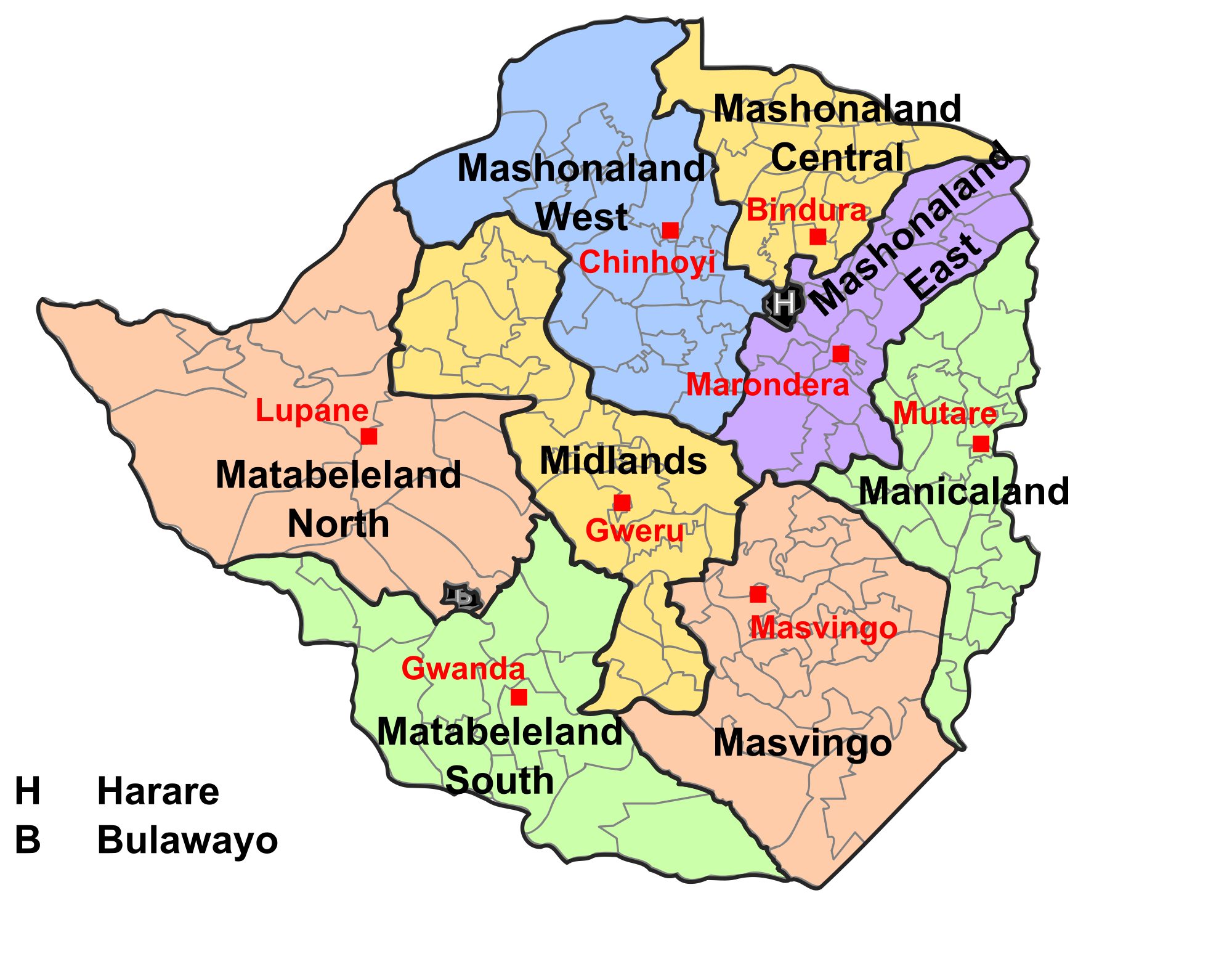
Administrative divisions
Zimbabwe has a centralised government and is divided into eight provinces and two cities with provincial status, for administrative purposes. Each province has a provincial capital from where official business is usually carried out.
 |
Site Search
News
Random Articals
Weather
Join Our Newsletter
Send This Page to Friend
To Email this page to a friend
1. Use Your Default Email Client
2. Use Our Recommend Page
Online Contact
nouahsark
1438084734
+ 86 158 00 323 707
+ 86 158 00 323 707
nouahsark@hotmail.com
If you like this article please feel free to share it to your favorite site listed below: